The Last Leg
I excitedly write this blog post from Rothera Research Station, the JCR’s final destination after having completed all of its 'first calls'- essentially delivering cargo and new wintering teams. Each station will now experience a 6-10 week handover period while the JCR travels north, back to the Falkland Islands, to collect more supplies. The JCR will then complete its final round of 'last calls' at each station by collecting the outgoing wintering teams and summer only staff as their season draws to a close in February.
From my last post I left you at Signy Research Station, 60o south. After a couple of days of efficient cargo delivery and opening the station, we took a bearing south and headed towards the Antarctic peninsula.
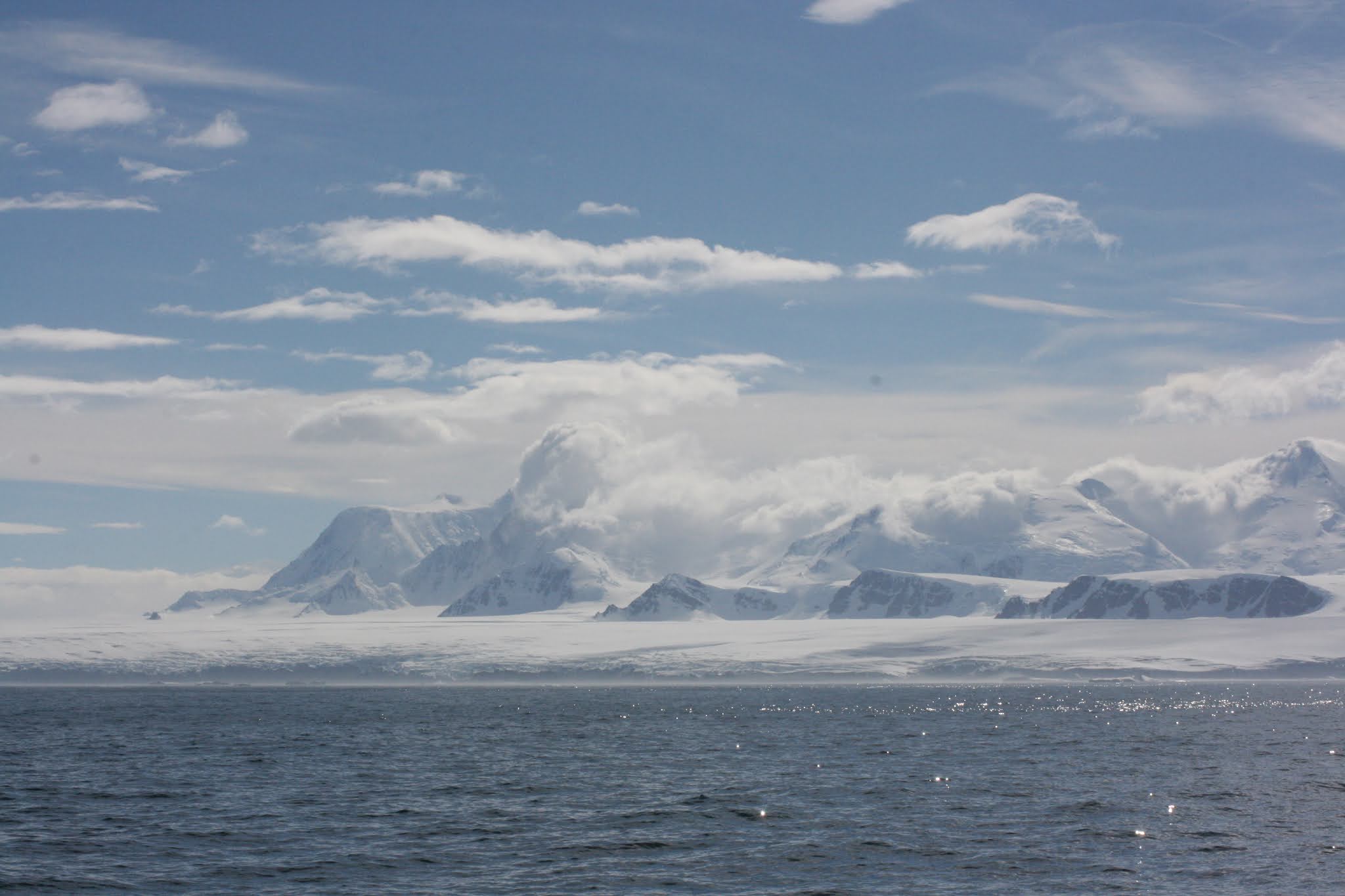
The marine mammal excitement continued as we sighted our first Antarctic minke whale at 61 o south. Antarctic minke whales are most abundant south of 60o during the southern hemisphere summer and can be found as far south as 78° into the Ross Sea region. The greatest densities of minkes are known to occur around the ice edge and their distribution can extend up to several hundred kilometres into the ice and fascinatingly, minkes can be found in habitats where there is almost 100% ice cover. Yet because minkes can only hold their breath for 15 minutes, in these situations, minkes use their stout rostrum (nose) to break through newly formed or tightly packed brash ice (dense accumulations of floating ice fragments) to create breathing holes. Orca are significant predators of minke whales and in particular, minkes constitute a large proportion of Antarctic Type A orca diet (see previous post). On the same evening that we saw our first minke, we later sighted a group of orca which may be evidence that a hunt for prey was underway.
Moving south west, we passed the South Shetland Islands which marks the northern boundary of the Antarctic Peninsula. We passed within 33 nautical miles of Elephant Island; an iconic landmark within the South Shetland Islands. Elephant Island is famous for providing a refuge for Shackleton and his crew who spent months drifting on ice floes in lifeboats after their research ship Endurance became trapped in pack ice in the Weddell Sea in 1916.

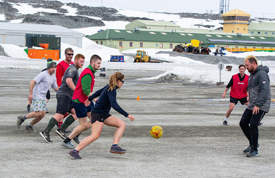
Amongst the South Shetland Islands chain lies Deception Island. The island was formed from the caldera of an active volcano which last erupted in 1970. Two research bases currently operate out of Deception Island, an Argentinian summer only station and a Spanish station. We were fortunate enough to visit this magnificent island. The James Clark Ross crew will be working for a much-extended period of time compared to previous years and due to the Covid restrictions, there will be no exchange of crew in the Falklands. Therefore, maintaining good morale is high on the agenda. Making stops in scenic areas during our transit allows everyone to stretch their legs and is certainly an absolute treat for BAS staff.


Deception Island, coined by the American explorer Nathaniel Palmer in 1820, earnt its name for deceptively looking like a normal island. The island is circular shaped encircling a flooded caldera and has a narrow entrance called Neptune's Bellow. After its discovery, Deception became a focal point for the short-lived fur-seal industry which quickly collapsed in 1825 after the seal stocks were severely depleted. However, Deception was later revived as an active whaling station in 1904 where whaling ships could anchor and access a plentiful supply of fresh water. The island's geology lends itself to acting as a natural harbour, both free from ice and strong winds. Whalers flocked to the island and some reports reveal evidence that there were several hundred men resident on the island during the Antarctic summers.
The whaling ships operated as converted factories which could only strip the blubber from the whales and therefore permanent on-shore stations needed to be established on the island to extract the oil and process the carcasses. This technique of whaling was later superseded as pelagic whaling gained momentum in the 1920s when factory ships became fitted with a slipway to tow entire whales on board for processing. As a result, whaling companies were no longer tied to sheltered anchorages and could escape the costs of licences. The market collapsed and commercial whaling ceased on the island in 1931.
Relics of the whaling station were scattered across the shores. Old oil drums stood as tall as skyscrapers. The volume of oil needed to fill the tanks astounded me. Two of my colleagues were tasked with completing a photographic survey of the site to feed into a project which assesses the state of the whaling remains every year and documents any change.


Relics of past whaling activities along with whalers graves
During our short visit on the island, we hiked up mountains, gazed upon coves covered in volcanic ash and crossed beaches that appeared to be puffing out steam! Since Deception Island is formed of the exposed portion of a shield volcano (30 km in diameter), there are pools of heated water below the surface which generates intense heat that rises out of the land.

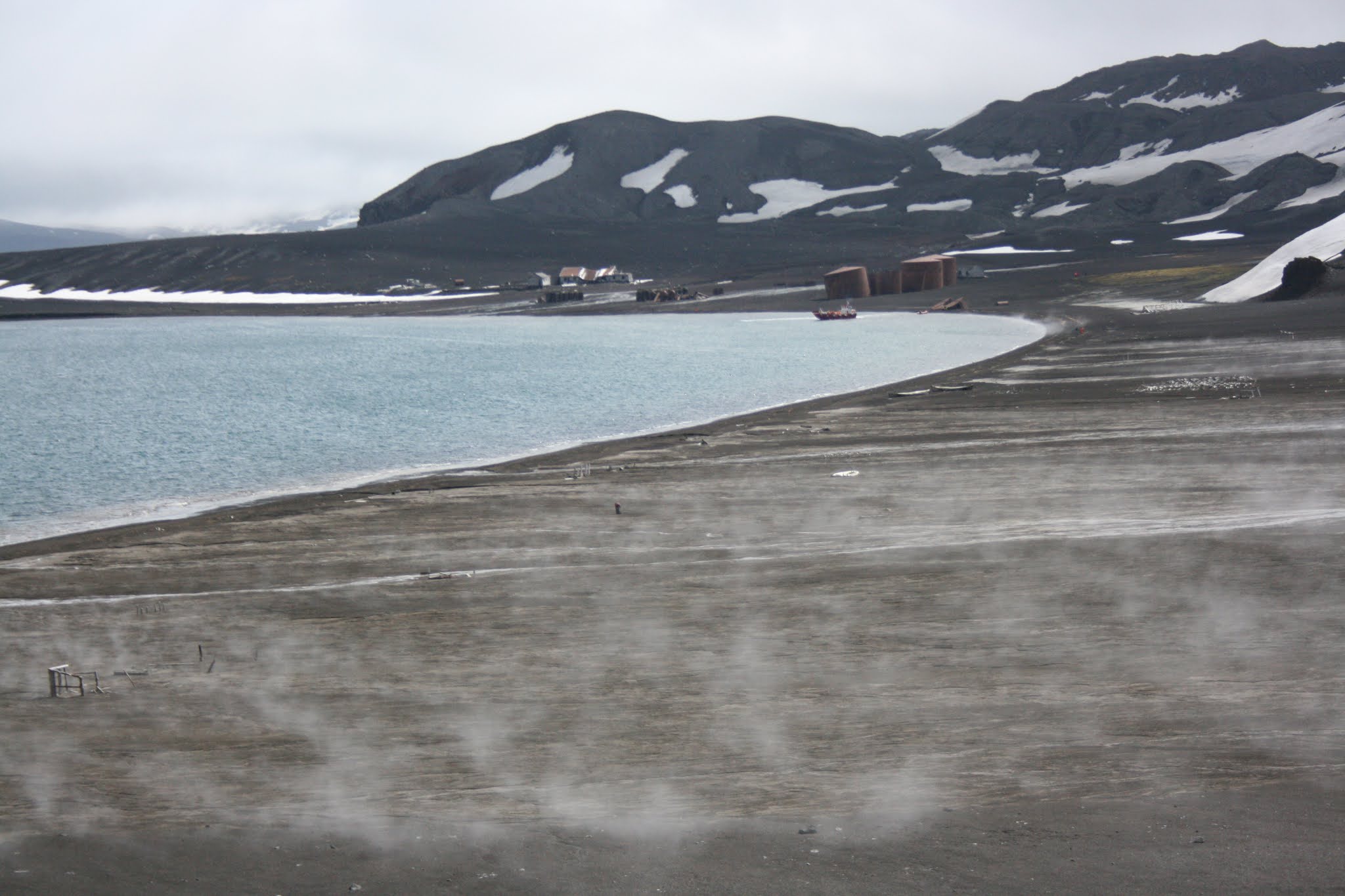

An eerie landscape of volcanic steam


After a fantastic final day on board, the time to disembark came around too soon. Initially, I had envisaged that a 7 week journey would feel extremely long but in fact, the opposite was true.
On 23rd December and 8951 nautical miles later, we arrived at Rothera Research Station. Saying goodbye to the wonderfully hospitable crew who had become friends and the ship that had taken us so far was somewhat emotional. What a journey it has been ....


A map of the JCR’s 7 week journey denoted by marine mammal sightings. Our first stop was South Georgia, we then moved west to re-fuel at the Falkland Islands, before moving east to Signy, to finally moving south across the peninsula


Wonderful ! Thank you for taking the time to write this. Fantastic, touching. Are you getting used to the cold ?
ReplyDeleteThanks so much JY. :-) The summer sun almost gives a Mediterranean feeling - I almost forget that I'm in Antarctica. However, my hands after todays dive would not agree, after 30 minutes in 0.5 degree water, it's painful!
Deletetiomereka-Sioux Falls David Siegmann https://www.dhunexim.com/profile/Native-Instruments-Factory-Library-For-KONTAKT-5rar-REPACK/profile
ReplyDeletebarsnalesree
0aclencaetsu Amanda Duarte Internet Download Manager
ReplyDeleteJetBrains PhpStorm 2022.2
JetBrains RubyMine 2022.2
LightBurn 1.2.01
ricstydedi